

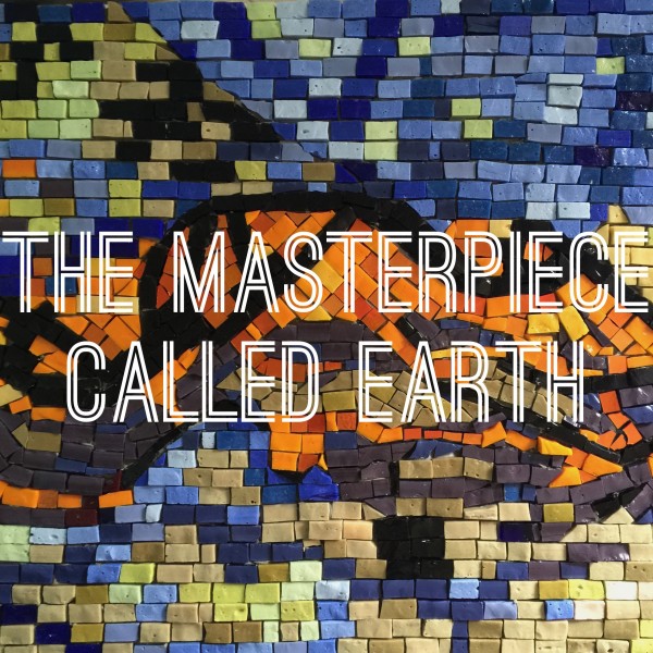
First Friday show to celebrate Earth as masterpiece
April 28, 2015
907-474-7541
4/28/15
The College of Natural Science and Mathematics and the GeoData Center will host the First Friday art show, “A Masterpiece Called Earth,” on May 1. The show will be in the GeoData Center in 204 Akasofu Building, 930 Koyukuk Drive, from 5 to 7 p.m. with live music and light refreshments.
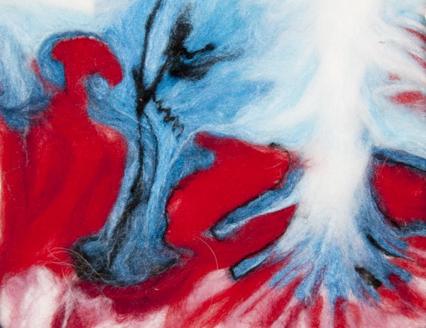
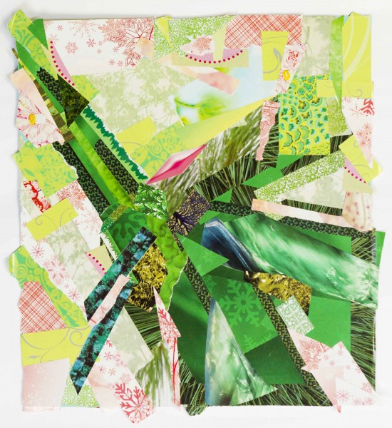
“A Masterpiece Called Earth” will feature artwork from UAF faculty and staff members and students that is based on satellite images of ice caps, deserts, deltas, mountains, islands and other striking geographical features across the world. Just like the Earth, the pieces are varied in texture. They include mediums such as paper collage, felt work, smalti tile mosaic, acrylic painting, quilting and watercolor.
The satellite images that served as inspiration are works of art themselves. Realizing the beauty of Earth when seen from 200 miles above, the U.S. Geological Survey and NASA selected certain satellite images for their aesthetic value and compiled them into a collection called “Earth as Art.” Both agencies manage a fleet of satellites.
Some of the geographic features captured in the artwork featured in the show include the Belcher Islands in Canada, the Himalaya Mountains in Central Asia, the Okavango Delta in Botswana, the Mayn River in Russia, the Algerian Desert, an alluvial fan in China, and the Vatnajökull Glacier Ice Cap in Iceland.
The GeoData Center is part of the UAF Geophysical Institute Alaska Satellite Facility. The center, CNSM and the College of Liberal Arts Collaborative Arts Council are sponsoring the show. The council has sponsored several art shows this spring that combine art and science.
For more information, call 907-474-7608 or go to www.uaf.edu/cnsm.
MM/4-28-15/269-15